Mapped Visualisations of the City of Rotterdam
A project by Ira Kataria
Impromptu Course: QGIS Workshop
Lecturers: Univ.-Prof. Dr.-Ing. Agnes Förster and Dr. Maddalena Iovene
winter semester 2020/21
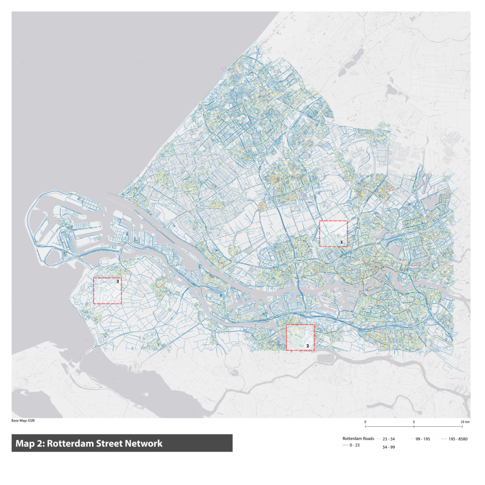
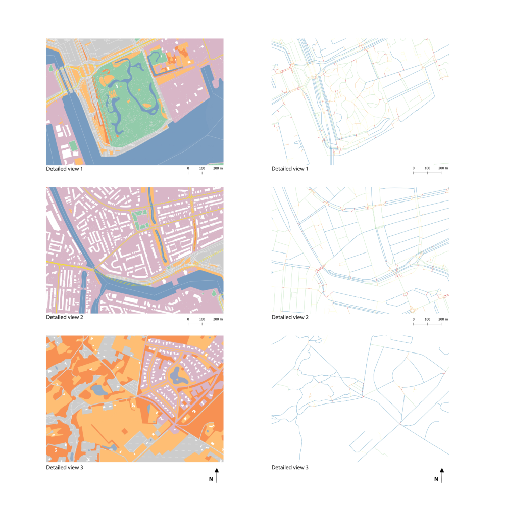
The maps showcase the city of Rotterdam–the first set displaying its transportation network, land-use, built structures and green spaces, and the second set displays the hierarchy of roads within the city. The city has a connected urban fabric, with canals flowing in, connected greens and a dense transportation and street network. The exercise was conducted on QGIS, taking help of online resources of Open Street Maps. Further, through the application of various functions on the platform, the data was managed, edited and enhanced.